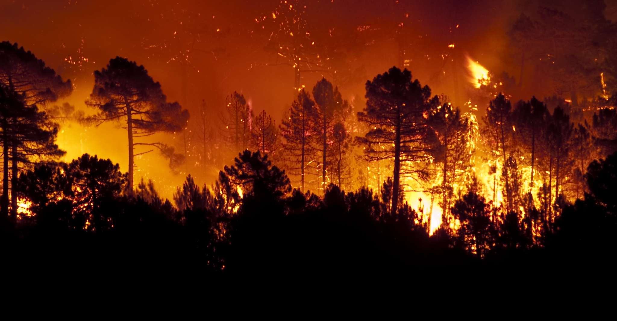
Wildfires have pushed many insurers to take on severe losses in 2020.
For some locations, such as California, this means homeowners may be unable to renew their home insurance policies and government programs are urged to step in.
WaterStreet Company’s P&C insurance software is built with an advanced API and able to connect to any number of third-party solutions for collecting the data necessary to improve rating by peril.
Challenges with Insuring Against Wildfire
California residents have endured the brunt of wildfire damage this year and in years past. With an additional affordable housing crisis, Californians are also moving into areas that are higher risk of wildfires at higher rates.
In 2019, Californian ZIP codes that had a moderate to very high fire risk found non-renewals jumped 61%. This means more Californians are moving into uninsurable homes, in part due to the risk associated with ZIP codes, which do not show the full picture of a single home’s level of wildfire risk.
The current rating system model for California insurance companies requires rates based on past losses, further doubling down on an inaccurate model.
Bottom Line:
- An affordable housing crisis is pushing California homeowners to move into more severe wildfire risk areas.
- The level of wildfire risk is typically dictated by ZIP code, which is inaccurate for assessing the risk of a single home’s location.
- Insurers are stuck in a cycle of relying on past losses to indicate the level of risk, which is an inaccurate model.
Tools for Improved Rating by Peril
According to John C. Siegman, Founder of HazardHub, it’s time for insurers to take on a better approach for measuring the risk of perils. HazardHub’s mission is to create the most comprehensive set of geographic risk data available. We asked John to offer his insight on the crises caused by wildfires in California.
This crisis in California wildfire is partially driven by “industry standard” wildfire models that are far past the end of their product life cycle. They lull the industry into a false sense of security about what can – and cannot – be safely written.
Instead, precision geolocation data collected by satellite imaging allows an insurer to identify how likely a wildfire is to affect a specific location.
Our model gets “smarter” every year by including recent burn perimeters and satellite burn points in our model, as wildfire is a peril that likes to visit the same areas over and over. In 2020, 95% of the properties that burned in wildfires scored an F in our model. The rest were D’s.
Insurers who adopt geolocation data for identifying wildfire risk are better equipped to insure higher risk locations. This results in greater customer satisfaction, improved loss ratios and a path for the industry to continue catering to this market.
From what we’ve seen, a large number of insurers are using ZIP Codes – which are absolutely terrible for wildfire rating – as an easy way to non-renew customers. While admitted carriers are trying to lessen their policy load, non-admitted E&S companies are coming into California, using our scoring to target, and are writing profitable policies.
Insurers that are unable to adapt to better data practices for underwriting may soon be shut out of insuring against wildfire altogether due to disruption by new players.
An additional challenge for incumbent insurers is the capabilities of their technology. For many insurers, it’s simply not possible to integrate with third-party solutions such as HazardHub. That is why WaterStreet Company offers entirely unified cloud-based software for connecting to any number of third-party data solutions. Insurers who rely on legacy systems are bootstrapped within their system’s capabilities and unable to adapt to better data practices.
What Homeowners Can Do
Homeowners also stand to take steps towards lowering their risk of wildfire. Insurers should take note of homeowners who do all they can to further mitigate their risk by offering guidance.
HazardHub has offered the following advice for homes that score a D or lower on the following property risk assessment tool.
- Clear vegetation away from the property so that nothing flammable leads to the home’s structure.
- No wooden fences, no wood piles, no bark mulch up to the foundation, no overhanging branches, no open soffits, double baffle vents, non-combustible roofing materials.
- If you have to evacuate – and have the time – close all windows and doors.
What Insurers Can Do
Bouts of wildfires have revealed gaps in insurance policies and locations, decreasing trust in the P&C insurance industry and questioning practices of assessing risk.
The best avenue for insurers to improve risk assessment by peril, such as wildfires, is to turn towards solutions for more accurately spotting where the greatest risks lie and new pricing structures to include more segments of homeowners.
With the right combination of improved technology and practices, insurers still stand to profit on moderate to high risk locations as homeowners remain in these areas and continue to seek adequate coverage.
Reach out to WaterStreet Company today to request a consultation and demo of our solutions.